Swan Bay by the numbers
Area of water
surface:
30 km2
Water volume:
40,000 m3
Depth:
up to 2 metres
Area of intertidal
flats at low tide:
1200 hectares
Intertidal water
volume:
7000–8000 m3
Water temperature:
Winter 11.2oC.
Summer 20.5oC
Catchment area:
170 km2
What is special about Swan Bay?
- Swan Bay is one of the most intact wetland and bird habitats in Port Phillip Bay.
- Swan Bay has been recognised as a wetland of international importance under the Ramsar Convention.
- Port Phillip Heads Marine National Park and Edwards Point Wildlife Reserve protect Swan Bay’s significant natural values.
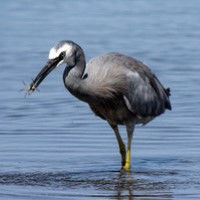
- Swan Bay’s habitats support nearly 200 bird species.
- Swan Bay is visited by thousands of migratory shorebirds each October. Swan Bay and Mud Islands are Victoria’s second-ranked migratory shorebird site after Corner Inlet. Australia has signed international agreements with China, Japan and Korea to protect these birds along their flight path.
- The seagrass meadows in Swan Bay are some of the largest in Port Phillip Bay. They provide an important habitat for many fish, crustaceans, worms and other marine life. They are also nursery area for several species of fish, including King George Whiting.
- The critically endangered Orange-bellied Parrot visits Swan Bay in winter and early spring to roost and feed in the coastal saltmarsh.
- Threatened coastal moonah woodland grows in Edwards Point Wildlife Reserve, on Swan Island and along the southern shore of Lake Victoria (part of the Swan Bay wetlands and the Ramsar site).
A bird’s-eye view of Swan Bay
Aerial photos supplied by a friend of the Swan Bay Environment Association

The what and where of Swan Bay
Swan Bay is a shallow coastal lagoon between Queenscliff and St Leonards on the Bellarine Peninsula. It is a 30-minute drive from Geelong and a short walk from Queenscliff.
Swan Island, Duck Island and Edwards Point partly separate Swan Bay from Port Phillip Bay.
The catchment of Swan Bay covers the eastern part of the Bellarine Peninsula and is drained by Yarram Creek, Frederick Mason Creek and several other intermittent creeks. Lake Victoria and Freshwater Lake are also in the bay’s catchment. Both are protected in the Lonsdale Lakes Nature Reserve managed by Parks Victoria.
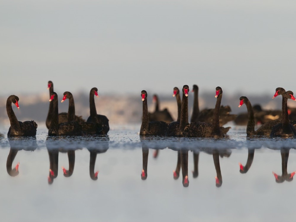
Why is it called ‘Swan’ Bay?
More than 3000 Black Swans can be seen on the bay in summer and autumn. Numbers like this must have impressed Lieutenant John Murray when he explored Port Phillip Bay in February 1802. His journey’s log often refers to the bird, which had become a major food source for him and his crew.
The large island off Queenscliff he named Swan Island, the bay it protected he called Swan Harbour. Two months later Matthew Flinders rowed into Swan Harbour and renamed it Swan Pond, perhaps out of frustration, as the ‘harbour’ was far too shallow for ships. Now it is known as Swan Bay.